Home / Scripts & Code / CSS
Germany Interactive Map With PicturesGermany Interactive Map With Pictures
Professional looking interactive maps. The map consists of HTML, CSS filesHome / Scripts & Code / CSS
Germany Interactive Map With Pictures
Professional looking interactive maps. The map consists of HTML, CSS files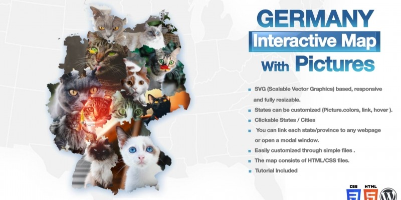
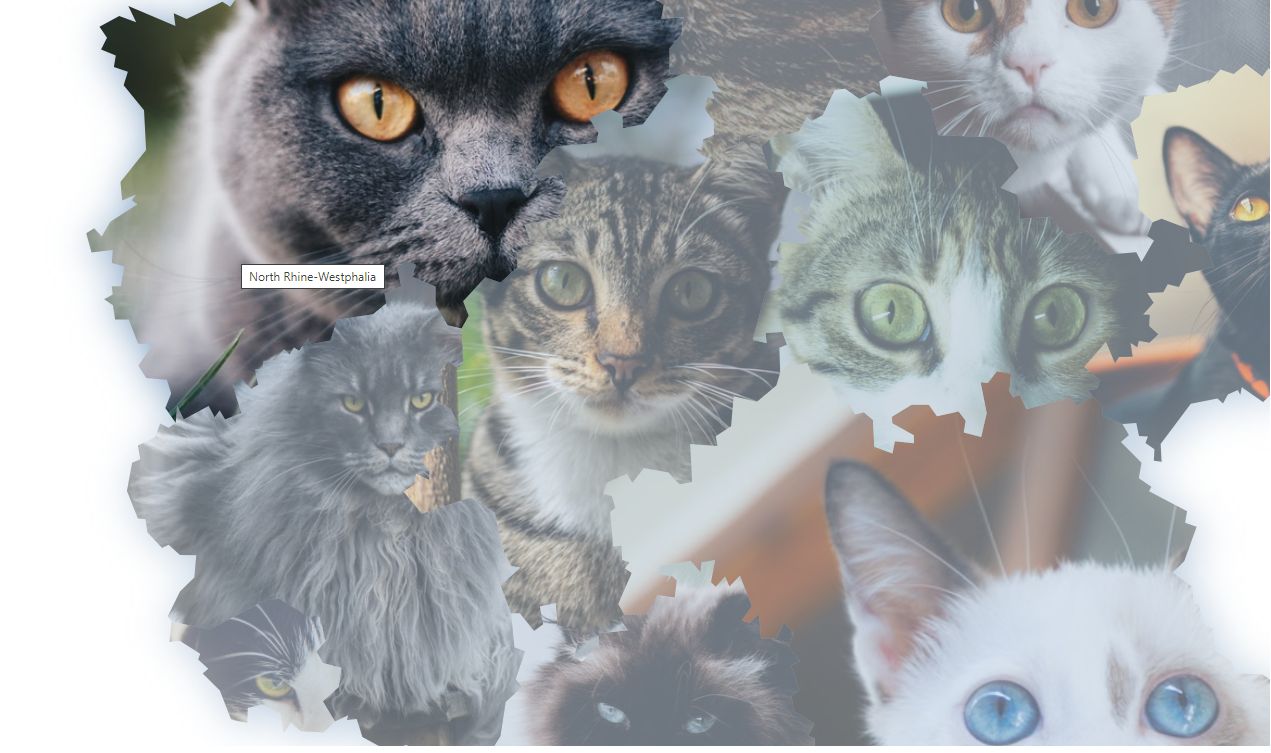
Screenshots


Overview
. SVG (Scalable Vector Graphics) based, responsive
and fully resizable.
. Tutorial Included
. States can be customized (Picture. colors, link, hover ).
. Clickable States / Cities
. You can link each state/province to any webpage
or open a modal window.
. Easily customized through simple files.
. The map consists of HTML/CSS files.
Requirements
Beginner level HTML - CSS (JavaScript is not required)
Other items by this author
Information
| Category | Scripts & Code / CSS |
| First release | 10 February 2021 |
| Last update | 10 February 2021 |
| Files included | .css, .html, Javascript .js |
| Tags | Javascript, interactive, map, svg, google maps, Map plugin, clickable, us map, interactive maps, mapping tool, states map, united states map, us cities map, us map a website |