Aksara WebGIS - a Territory Potencial MappingAksara WebGIS - a Territory Potencial Mapping
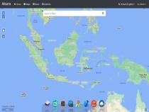
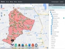
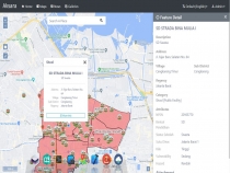
Aksara WebGIS is a toolkit that can be used to create web-based mapping visualizations that are full-featured and easy to operate.Aksara WebGIS - a Territory Potencial Mapping
Aksara WebGIS is a toolkit that can be used to create web-based mapping visualizations that are f...
Overview
Aksara WebGIS is a toolkit that can be used to create web-based mapping visualizations that are full-featured and easy to operate.
With this tool, you can build open map to your company, organization or institution without extra subscription for any third party API Service. But this will be presented as optional setup in order you would to get detailed information.
Aksara WebGIS was built with following technology:
- Aksara CMS;
- CodeIgniter 4 (latest);
- Bootstrap 4;
- jQuery;
- OpenLayers.
Demonstration:
https://gis.aksaracms.com
Username: admin
Password: admin123
Features
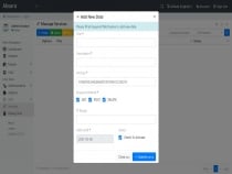
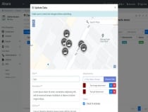
- Direct Digitation from the App;
- Open Map Visualization;
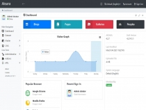
- User Management include Group Roles;
- Multilingual & Inline Translation;
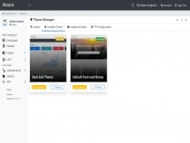
- CMS Starter.
Requirements
- PHP 7.3.16+ (with intl & gd2 extension enabled);
- MariaDB 10+ / MySQL 5+
Instructions
INSTALL GUIDE
Install Step
1. Extract the file and move under your web document root;
2. Access the application through your favorite browser;
3. Follow the installation wizard.
Import the Sample Map Data
1. Import the SQL file named "SAMPLE-DATA.sql.zip" to your database;
2. Make sure the file is imported successfully;
3. When it successfully imported, you will get the sample map dataset on your application.
Other items by this author
| Category | Scripts & Code / PHP Scripts / Miscellaneous |
| First release | 17 May 2021 |
| Last update | 20 May 2021 |
| Files included | .php, .css, .html, .sql, Javascript .js |
| Tags | codeigniter, aksara, gis, webgis |


